Our map viewer control has gotten old, so we leveraged Leaflet, an open source javascript map viewer control to bring our mapping feature into the 2020's. Our old map viewer control was built years ago in Silverlight, a technology that Microsoft has since abandoned and can be used only after jumping through some hoops. While Leaflet provides a lot of functionality out of the box and there are several 3rd party plugins for even more functionality, it still took quite a bit of effort to get it to work with the intricacies of our system. Work that is still ongoing, actually, so we're leaving the old map viewer in place until we are happy with the state of the new control.
Current Features
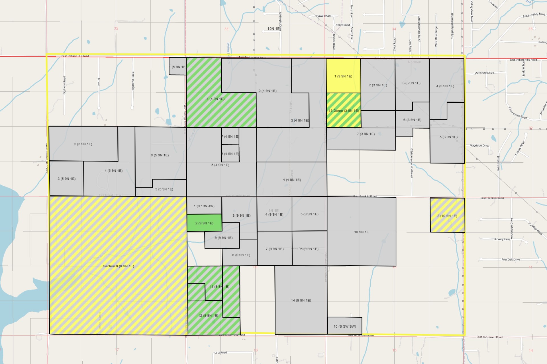
As of this writing, we have released a new preview Mapping Dashboard that features the new cross-browser control. Its functionality is still limited, but users can perform all of the basic interactions that one expects when interacting with an online map, and most importantly, it can be used in any browser. It also supports the prospect outline, company specific colors for the tract status, the tract summary tooltip, and double-click to jump to a tract overview. Lastly, we have dropped a few of the less useful base layers that the old control supports and added a couple of new ones.
Note that the current Tract Map screen can still be used to upload shapefiles or generate the shapes for PLSS tracts as before, even if the old map viewer does not work in the users browser; those features are technically independent of the map viewer. The new map viewer displays the same shape data as the old one, so those uploaded and generated shapes will appear in both viewers!
Upcoming Features
Currently, the old control supports shape drawing and printing and we'll definitely be re-adding those features. We also plan to add a home button to make it easy to return to the initial view. After shape drawing is supported, we'll be able to release preview versions of the Tract Map and Prospect Outline using the new control. Other nice-to-have features that we're planning on adding will be changing the opacity of the various layers and per-user saving of the state of the map. For instance, things like the user's preferred base layer, which feature layers are toggled off, and opacity values.
Lastly, we are experimenting with adding additional feature layers such as US counties and the Texas Rail Road Commission's version of the original Texas land survey, though performance can suffer if we go overboard on those, so we have to be careful.
Dropped Features
Most of the functionality of the old control will eventually be re-added, but it is unlikely that we'll re-add the jump to a specific PLSS section feature. As mentioned, we are dropping a few of the less useful base layers that the old control supports. We're also likely going to retire support for uploading an image for a tract map, which currently completely replaces the interactive map, as it's a legacy feature from years ago that few, if any, users still use today. As mentioned, users can still, and will always be able to, upload shapefiles for their tracts.